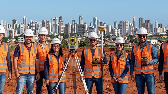
We translate land into accurate data
Topography, geodesy, land analysis and infrastructure with professionals of wide operation.
Scroll


0
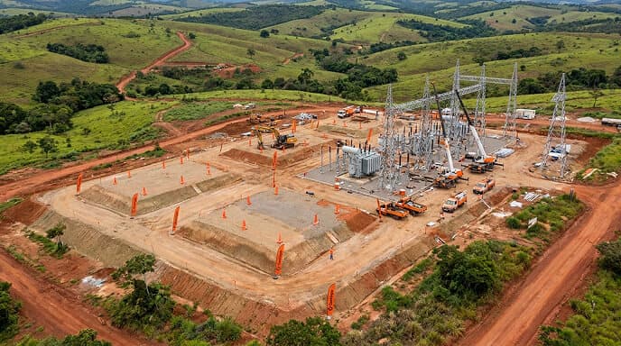
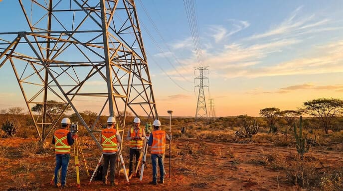
Aerial survey
+200
Regularized properties
All with 100% approval.

+5
States served: São Paulo, Bahia, Rio de Janeiro, Ceará, Pará

+ 150km
From transmission lines
All certified.

+32.000
Hectares analyzed
With a Technical Responsibility report.
OUR PARTNERS


Our Services
We perform specialized services in Geodesy and the implementation of Topographic Networks with precision, following national technical standards and official references.
BLOG
Insights & Projects
In this space, we share all the knowledge we have to help with your projects
24 de abril de 2026
Empresa de topografia no Ceará: como escolher a melhor?
Read more
22 de abril de 2026
Topografia para subestações de energia: processos, normas e precisão
Read more
17 de abril de 2026
Caso de Sucesso: Mais de 600 km de linhas de transmissão levantadas pela Geotopo
Read more
![Topografia para energia renovável: O guia definitivo [2026]](/_next/image?url=%2Fapi%2Fmedia%2Ffile%2Ftopografia-energia-renov%25C3%25A1vel.jpg&w=3840&q=75)
30 de março de 2026
Topografia para energia renovável: O guia definitivo [2026]
Read more
PROFESSIONAL TOPOGRAPHY
NO REWORK
Topography, geodesy, and cartography with full technical responsibility. We transform territorial complexity into clarity for your decision-making.